
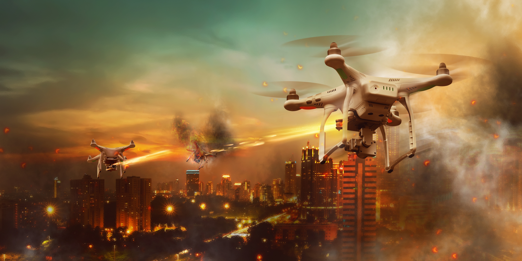
In a disaster, seconds can save lives—and data can guide those seconds wisely. Unmanned Aerial Vehicles (UAVs) have become essential tools for both emergency response and long-term recovery. These aerial systems combine automation, artificial intelligence, and real-time data transmission to strengthen disaster management across the globe.
Smart Data for Smarter Decisions
UAVs provide instant access to high-resolution imagery, which can be analyzed using machine learning algorithms to detect damage severity, blocked routes, or possible safe zones. This empowers authorities to prioritize rescue missions more effectively. Drones can even predict the likelihood of landslides or secondary hazards by analyzing terrain stability.
At WUAV, we emphasize the integration of drones with GIS (Geographic Information Systems), AI-based mapping, and 5G networks for faster, more secure communication. With these systems, multiple drones can operate as a fleet—sharing data, avoiding collisions, and autonomously covering vast territories.
Real-World Impact
-
Floods: UAVs equipped with water-level sensors monitor overflow areas, provide live visuals to control rooms, and track evacuation progress.
-
Wildfires: Fire-detection drones identify heat hotspots before they spread, reducing damage by early containment.
-
Earthquakes: UAVs equipped with LiDAR scanners map debris fields, providing critical visuals for rescue planning.
-
Hurricanes: Long-range fixed-wing drones can monitor coastal zones and transmit weather data to forecast centers in real time.
Post-Disaster Reconstruction
Once the emergency phase ends, drones continue to play a critical role in recovery and rebuilding. The aerial imagery collected helps engineers assess infrastructure damage, insurance agencies estimate losses, and governments plan reconstruction efficiently. UAVs even assist in monitoring the environmental impact of disasters—such as deforestation, oil spills, or soil erosion.
WUAV’s Vision for the Future
WUAV promotes global collaboration for standardized UAV deployment in disaster management, bridging the gap between technology developers, first responders, and policymakers. By fostering education, certification, and interoperability frameworks, WUAV aims to make drone-based disaster solutions accessible and scalable worldwide.
Our mission is simple yet powerful: empower nations with technology that saves lives and rebuilds hope.