Disasters Response Drone (灾害响应无人机)
Disasters
Search and Rescue Drones in Emergency Relief
AI and Data-Driven Disaster Response UAV Systems
Thermal Imaging & Night Vision: For low-visibility rescue operations and survivor detection.
LiDAR Mapping: Generates accurate 3D terrain models even through smoke, fog, or debris.
AI and Machine Learning: Analyzes real-time video to recognize survivors, damage, and risks automatically.
Swarm Coordination: Multiple drones communicate and coordinate tasks for large-scale coverage.
Extended Flight Systems: Solar and hybrid energy solutions allow longer missions in remote regions.
Satellite Connectivity: Ensures global operation when cellular or internet networks are unavailable.
WUAV-PK Agras T50 and T25 Expand Aerial Crop Protection Capabilities
Over 300,000 drones treat 50 million+ hectares of farmland worldwide efficiently
What you need to know about insurance for your agriculture drones
Real-World Applications and Success Stories
By fostering collaboration between public and private sectors, WUAV ensures that no community remains disconnected during emergencies.
Earthquake Response
After major earthquakes, UAVs provide instant structural assessments and guide rescue teams toward survivor zones using infrared imaging. In Nepal, Japan, and Turkey, drones have been deployed to map entire disaster zones in under 24 hours.
Flood and Cyclone Relief
Drones monitor rising water levels, collapsed bridges, and evacuation routes, delivering life-saving aid to stranded individuals. Their ability to hover and drop payloads precisely makes them vital for flood-prone regions.
Wildfire Detection and Control
Thermal-equipped drones detect hotspots and fire progression in real time, allowing firefighters to predict spread patterns and safely plan containment strategies.
Pandemic and Medical Emergencies
During the COVID-19 pandemic, drones were used for disinfection, crowd monitoring, and delivering test samples or medicines to isolated zones — minimizing human exposure and maximizing speed.
Search and Rescue in Remote Areas
Mountainous, desert, or forested terrains are often inaccessible to ground teams. Drones equipped with GPS, zoom cameras, and rescue payloads enable 24/7 surveillance and survivor location.
Develop standardized global UAV protocols for disaster management.
Promote partnerships between governments, NGOs, and private drone companies.
Train international response teams in UAV deployment, operation, and data analysis.
Host annual global summits showcasing drone-based humanitarian technologies.
Establish UAV task forces in collaboration with international rescue agencies and defense organizations.
Empowering Humanitarian Aid with Advanced Disaster Response Drone Technology
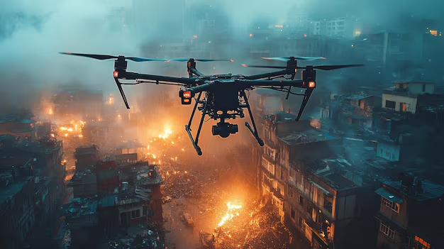
The future of humanitarian aid is airborne. Drones are emerging as the backbone of modern crisis response—offering unparalleled speed, efficiency,…
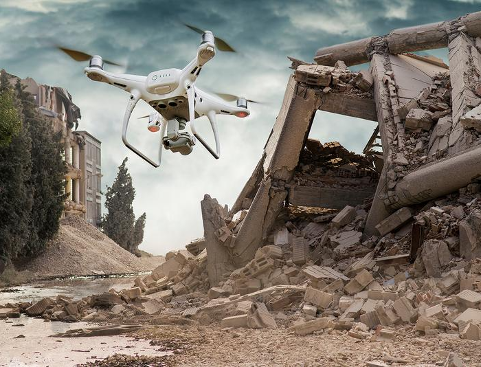
Building Smarter and Safer Disaster Recovery Systems through UAV Innovation
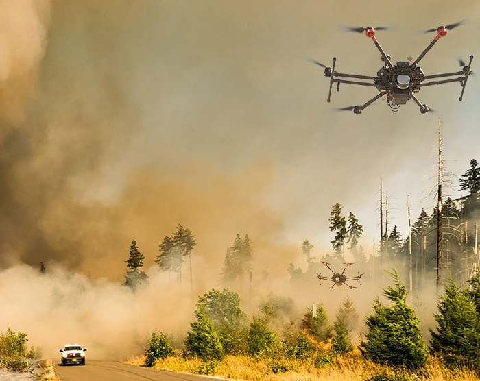
In a disaster, seconds can save lives—and data can guide those seconds wisely. Unmanned Aerial Vehicles (UAVs) have become essential…
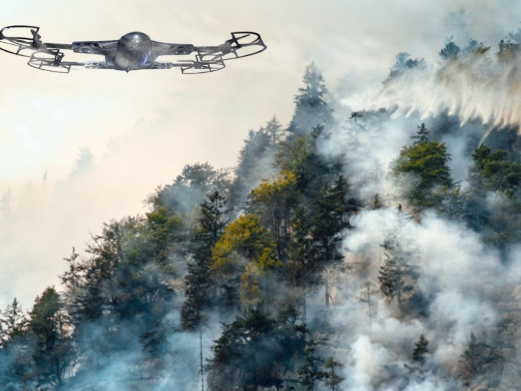
Revolutionizing Emergency Management with Disaster Response Drones
Natural and man-made disasters cause massive loss of life, infrastructure, and resources each year. Whether it’s an earthquake in Asia,…